Adriana Weaver
The Brazilian Navy has taken a vital step toward ensuring safe navigation in the nation’s Amazon region by mapping the region's rivers with the River Hydro-oceanographic Ship (NHoFlu, for its Portuguese name) "Rio Branco".
That's been the vessel's primary task since early April. By conducting cartographic surveys, the ship is gathering information that will make it possible to detect sand banks, improve the signals system, reduce travel times, and avoid nautical accidents. This data will be used mainly by Naval and merchant shipping vessels.
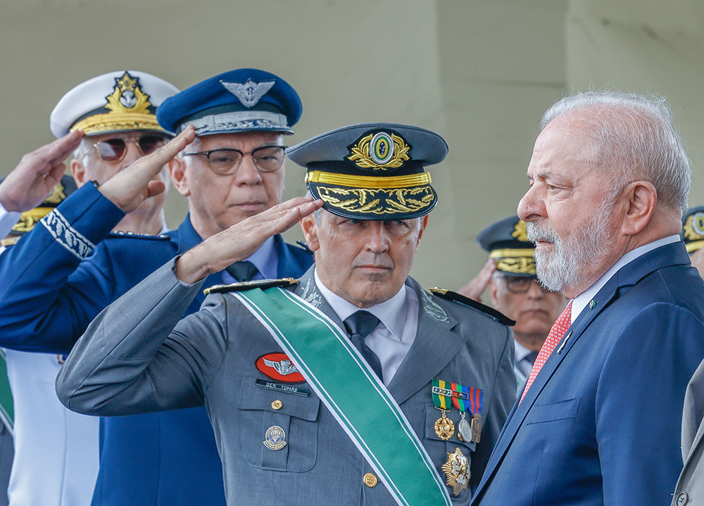
“We have to rely on our waterways and increase safety for ships," Minister of Defense Jaques Wagner said at a press conference on April 1, after the ship’s delivery ceremony in Manaus, Amazonas state.
Upon taking receipt of the "Rio Branco" in Manaus, the commander of the Navy Admiral Eduardo Barcellar Leal Ferreira emphasized the importance of mapping rivers such as the Solimões and the Madeira, whose characteristics change frequently.
“We need to ensure that the [growing maritime transportation in the region] is occurring safely and as economically as possible. The idea in the mid- and long-term is to have nautical maps with as much up-to-date information as possible available each year."
Protecting the environment
Charting the Amazon region and helping vessels avoid accidents will also help protect the environment, Minister Wagner said.
“There are no cheaper or more environmentally sound methods of transportation than on waterways. Today, people are using the waterways to transport close to 35,000 tons of soy as cargo,” Minister Wagner said. “If we were to transport that much on roadways, we’d be talking about 1,000 highways, burning diesel fuel, and polluting the atmosphere.”
Instead, Brazil has made a long-term investment into the environment — $19.9 billion since 2008. The construction of the "Rio Branco" was itself a two year project of the Ceará Naval Industry shipyard (Inace); and the mapping effort, managed by 36 seamen aboard the vessel, will proceed for another 200 days.
In addition to cartographic information, the ship is also collecting data on the atmosphere, the rivers, and underwater soil for use in scientific research. Eventually, the "Rio Branco" may also be used for training missions in support of river operations, in civil defense and social actions, as well as environmental preservation. It will additionally support the efforts of river patrol ships that combat crime in the region; the rivers of the Amazon are targeted by some criminals for illegal activities, such as robberies and drug trafficking.
The "Rio Branco" is part of the Amazônia Cartography Project (ACP), a partnership between the Navy and the Army, Air Force, and Brazilian Geological Bureau (CPRM), which has since 2008 been coordinated by the Amazônia Protection System Operational and Management Center (Censipam), a Ministry of Defense agency. The ACP consists of three subprojects:
- :: Land Cartography, which is executed by the Army and Air Force;
- :: Geological Cartography, which is executed by the Brazilian Geological Bureau; and
- :: Nautical Cartography, which is executed by the Navy.
The vessel itself was named after the Rio Branco River – which begins in the state of Roraima – and José Maria da Silva Paranhos, Jr., the diplomat who was known as the Baron of Rio Branco in the early 1900s and finalized the Brazilian border by resolving several conflicts with neighboring countries, without the use of arms.
